Black River Gorges: Which Walk, and Where It Ends
Black River Gorges walks: the 14 km Machabée loop back to Pétrin, the strenuous 10 km trail to Lower Gorges and the easy 6 km Savanne return.
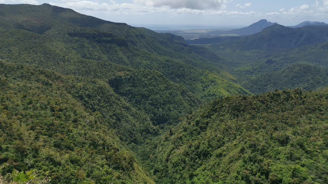
Black River Gorges has two walks with almost the same name, and mixing them up leaves you at the wrong end of the park. The Machabée Forest Loop is 14 km and brings you back to Pétrin; the Machabée Trail is 10 km, graded strenuous by the park service, and finishes at Lower Gorges, 36 km (41 minutes without traffic) from Pétrin by road. Whoever drives you to the start has to wait at the other end. For an easy half-day, the Savanne Trail is a 6 km return walk from Plaine Paul.
The park covers 6,574 hectares of forest, according to the National Parks and Conservation Service, and from Flic en Flac the Lower Gorges end is the nearer one: 19 km and 23 minutes by road without traffic, against 26 km and 29 minutes to Pétrin. The drive is the short part; the 10 km and 14 km walks are what fill the day, so start in the morning.
Similar names, different days on foot
The National Parks and Conservation Service, or NPCS, lists eight trails in the park; these are the three rows of its table this guide uses, read on 16 November 2026:
| Walk | Published pathway | NPCS length and grade |
|---|---|---|
| Machabée Forest Loop | Pétrin - Machabée - Pétrin | 14 km return; moderate |
| Machabée Trail | Pétrin - Black River Lower Gorges | 10 km; strenuous |
| Savanne Trail | Plaine Paul - Piton Savanne - Plaine Paul | 6 km return; easy |
The pathway column matters more than the name. The loop is the longer walk but ends at your car; the trail is shorter and harder, and it’s one-way, so walking it back to Pétrin turns 10 km into 20. The Savanne Trail is the only one of the three the service grades easy.
Pétrin and Lower Gorges, the two ends of the Machabée Trail
The park service names two information points in its notices, Pétrin Visitors Centre and the Lower Gorges Information Centre, one at each end of the Machabée Trail. The trail table gives no opening hours for either, so ask NPCS about access and the centres before a long walk.
Distances by road, without traffic (OSRM routing, 17 November 2026). Pétrin is measured to the information office that OpenStreetMap maps at the Pétrin entrance, and Lower Gorges to the park visitor centre it maps at the Black River entrance, at the end of Les Gorges Road, so the figures are close, not exact:
| Leg | By road | Driving time |
|---|---|---|
| Pétrin to Lower Gorges | 36 km | 41 minutes |
| Flic en Flac to Pétrin | 26 km | 29 minutes |
| Flic en Flac to Lower Gorges | 19 km | 23 minutes |
| Tamarin to Pétrin | 30 km | 33 minutes |
| Tamarin to Lower Gorges | 11 km | 14 minutes |
Those 36 km are the number behind the whole plan. A driver who drops you at Pétrin has more than 40 minutes of road to cover before reaching the finish, so give the driver the full trail name and the Lower Gorges pickup before you start. Taxi and bus options from the coast are in the getting around guide.
Which walk fits which base
The road table shows an odd fact about the Machabée Trail: it starts far from the coast and finishes close to it. From Tamarin, Pétrin is 33 minutes away and Lower Gorges only 14. If you’re staying at Tamarin, use that to your advantage: get driven up to Pétrin, walk the 10 km, and be picked up at Lower Gorges, a short run from your hotel instead of a long one.
A taxi or driver for that plan covers Tamarin to Pétrin (33 minutes), then Pétrin to Lower Gorges (41 minutes) to wait for you, which is about 74 minutes of driving before you’ve finished walking. Put that figure in front of the driver when you ask for a quote, because it’s the part people forget to count.
From Flic en Flac, the three walks compare like this:
- The loop: 14 km on foot, one car, about 58 minutes of driving there and back.
- The trail: 10 km on foot, a second vehicle or driver, and the Lower Gorges end 23 minutes from the coast.
- The Savanne Trail: 6 km return from Plaine Paul, the shortest day and the only one NPCS grades easy.
Pick the loop if the car is yours and you want the simplest logistics. Pick the trail only if someone will be at Lower Gorges when you finish.
From wet upland forest to dry lowland forest
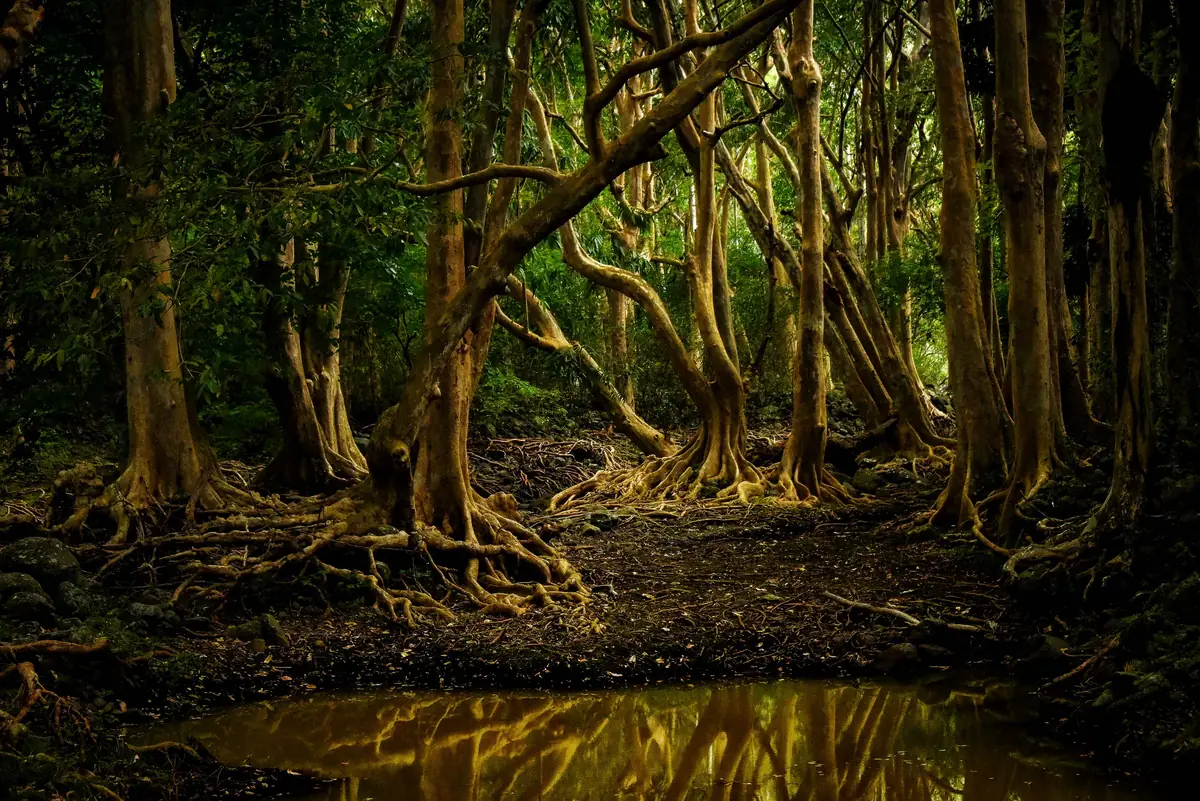
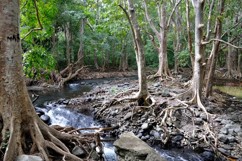
The park lies in south-west Mauritius, and NPCS describes the change from a damp, rainy upland forest to a drier lowland forest. That gives the outing a different purpose from a day on the lagoon: the vegetation changes along the path, and the rainy end is the one around Pétrin.
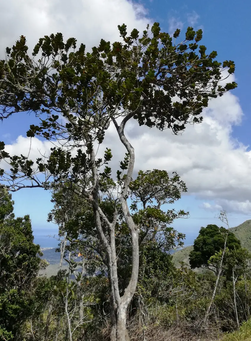
UNESCO’s Black River Gorges-Bel Ombre biosphere-reserve record explains the conservation work behind this landscape. It lists weeding of exotic species, trapping of introduced macaques, plant propagation and captive breeding of birds, and it mentions an information centre that raises public awareness. The forest you walk through is managed, not simply left alone.
Pink pigeons come with a conservation story
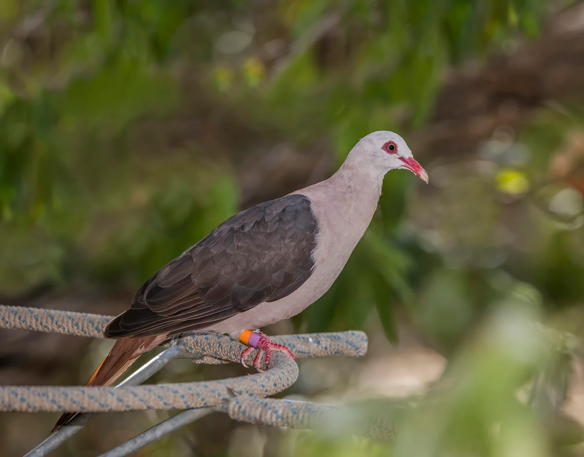
The Mauritian Wildlife Foundation’s field staff work with the pink pigeons of this park. Its news report of 13 September 2024 describes them rescuing an injured pink pigeon in Black River Gorges National Park, a reminder that individual birds here are followed closely.
You shouldn’t count on seeing one on a single walk; the foundation’s report is about one injured bird its staff had to find and rescue. If you picnic on the trail, carry every scrap of food and wrapping back out with you, and don’t feed a bird to bring it closer for a photo.
Wet uplands, sunny coast
The park service records up to 4,000 mm of rain a year on the uplands against 1,000 mm in the drier parts, so the sky over Flic en Flac tells you little about the path at Pétrin. Take shoes you trust on wet rock, a rain layer and more water than the walk seems to need.
Mauritius Meteorological Services’ torrential-rain precautions, read on 16 November 2026, advise avoiding flooded rivers and streams, overflowing bridges and slopes prone to landslides when a warning is in force. If you’re walking the strenuous Machabée Trail, note that SafetyWing Essential, the policy compared in the travel insurance guide, doesn’t cover search and rescue services, so if a search is ever billed, the policy won’t pay it.
Getting to the start and back from the finish
The west-coast guide covers Tamarin and Flic en Flac as bases for this walk, and both the seven-day route and the Mauritius and Rodrigues route leave a free day in the west that suits it. If the beach is the other half of the day, the best beaches guide compares Flic en Flac and Le Morne with the rest of the island.
If you’re driving yourself, the through-trail needs a second driver or a booked taxi at Lower Gorges; the car hire guide covers what the hire terms say. If a guided outing includes transport, make sure the confirmation names the walk.
Read also

What to see · 8 min read
Île aux Cerfs Day Trip: Boats, Timing and How Long to Stay
Updated · 17 November 2026Île aux Cerfs by boat from Trou d'Eau Douce: how the jetty boats work, what to ask before you board, the golf island, last boats and when to go.

Before you go · 8 min read
Before You Go to Mauritius: Entry, Cyclones, Rupees
Verified · 17 November 2026UK, Canadian and EU visitors need no visa. Passport, travel form, cyclone season to 15 May, rupee rates and customs limit, checked 17 Nov 2026.

Things to do · 8 min read
Best Beaches in Mauritius: Which Coast for Which Beach Day
Verified · 17 November 2026Eight beaches compared by official sea frontage and airport taxi fare, and which coast to pick when the June to September trade winds blow.

Car hire · 7 min read
Car Hire in Mauritius: Licence, Excess, Driving on the Left
Verified · 17 November 2026Car hire in Mauritius: daily prices from €24, excess of €400 to €1,000, licence rules for UK and Canadian drivers, and what driving on the left involves.