Mauritius in 7 Days: North Then West by Car, 255 km
Seven days in Mauritius by hire car: Grand Baie, Port Louis, Flic en Flac, Chamarel and Le Morne, 255 km of driving, with taxi fares and a rainy-day swap.
Seven days by hire car covers the lively north around Grand Baie, a morning in Port Louis, and then four nights on the west coast with a loop to Chamarel and Le Morne, in 255 km of driving and about 4 hours 23 minutes at the wheel. The island is only about 61 km long, so the distances are small; what costs you time is the roads, and the plan leaves two days almost empty to absorb that.
The week at a glance
Distances and times are from OSRM, an open route planner built on OpenStreetMap data, checked on 16 November 2026. They’re driving times with no stops and no traffic, so treat each figure as a floor.
| Day | Where | Drive | Distance | Time at the wheel |
|---|---|---|---|---|
| 1 | Airport to Grand Baie, via Pamplemousses | 2 legs | 74 km | 58 min |
| 2 | Grand Baie, boat day | - | - | - |
| 3 | Grand Baie to Flic en Flac, via Port Louis | 2 legs | 52 km | 53 min |
| 4 | Flic en Flac, Chamarel, Le Morne, Tamarin, back | 4 legs | 82 km | 1 h 49 min |
| 5 | Flic en Flac, free day | - | - | - |
| 6 | Flic en Flac, free day | - | - | - |
| 7 | Flic en Flac to the airport | 1 leg | 47 km | 43 min |
The whole week is 255 km. Only days 1, 3, 4 and 7 involve real driving, and none of them is long on the map.
Before you drive
Traffic keeps to the left, as in the UK, according to UK travel advice, which also says a UK photocard licence can be used in Mauritius. Canada’s travel advice says a valid Canadian licence works for up to four weeks; with a licence from anywhere else, check your own government’s advice before you book. UK advice adds that hire companies often set stricter terms than the law: a year of driving experience, a higher minimum age, sometimes an international driving permit. Read the supplier’s terms before you pay; the car hire guide compares two local firms’ excess and driver requirements. The same advice states that accidents are common in Mauritius and that motorbikes are slow and often ride without headlights at night, which is a reason not to drive after dark on day 1.
You don’t have to drive on day 1 at all. The official airport taxi list prices the north at Rs 3,500 one way to Grand Baie and the west at Rs 3,000 to Flic en Flac (effective from January 2026), so a taxi on arrival and a car collected on day 3 saves two days of hire. The cost is moving the Pamplemousses stop to day 3: the garden sits on the way from Grand Baie to Port Louis, and that morning starts earlier. Card payment at the taxi counter adds 10%, so bring rupees; the list also allows a 10-20% extra charge between 23:00 and 05:00 and adjusted rates on public holidays, at rush hours or for extra stops.
Days 1 and 2: the north
The first leg is 59 km and 46 minutes to Pamplemousses, then 15 km and 12 minutes on to Grand Baie. The airport’s own estimate for a taxi to the north is 1 hour to 1 hour 30 minutes, so for a first drive in a new country, plan on that and treat 58 minutes as the best case. Pamplemousses is worth stopping for only if you land early: Mauritius.com describes the Sir Seewoosagur Ramgoolam Botanical Garden as 37 hectares of gardens. If you land late, go straight to the coast and do the garden another day.
Day 2 is for the water. Boats to the northern islets leave from Grand Baie, and the Grand Baie guide covers the bays, what the cruises involve, and what to ask an operator. If you’d rather snorkel from a dive centre, the snorkelling, diving and dolphins guide sets out the options. For the public beaches between Grand Baie and Cap Malheureux and their length on the official register, see the north coast guide.
Day 3: Port Louis on the way west
Grand Baie to Port Louis is 28 km and 24 minutes by the route planner, then 24 km and 29 minutes on to Flic en Flac. Spend the morning in the capital: Mauritius.com names the Blue Penny Museum, with the island’s famous stamps, and the Aapravasi Ghat, a UNESCO World Heritage site where indentured labourers first landed after slavery was abolished. The Port Louis guide has their hours and the order of a weekday visit. For lunch, the Mauritian food guide covers the Central Market stalls and what to order there.
Start early, and don’t trust the route planner’s 24 minutes: the Mauritius.com estimate for the same drive is about 45 minutes.
Day 4: Chamarel, Le Morne and Tamarin
This is the longest day at the wheel unless you take the day-7 detour to the east, and the loop works best in this order. From Flic en Flac it’s 31.5 km and 40 minutes up to Chamarel, where Mauritius.com says the Seven Coloured Earth blends red, brown, violet, green, blue, purple and yellow across the dunes, and gives the nearby waterfall as 83 metres. Then 18 km and 28 minutes to Le Morne Brabant, the UNESCO-listed mountain on the island’s south-west tip. Then 21 km and 28 minutes to Tamarin for the bay late in the day, and 12 km and 13 minutes back to Flic en Flac. For a forest walk on day 5 or 6, the Black River Gorges guide compares the two entrances.
That’s 82 km and 1 hour 49 minutes at the wheel, and with stops it’s a full day. In this order the inland stops come first and the day ends on the coast, which is where the sunsets are. Check entry details for the Chamarel site with its operator before you go: the Mauritius.com page gives no opening hours or fees.
Days 5 and 6: nothing booked, on purpose
These two days exist for weather and for the things that need a fixed morning. Dolphin and snorkelling trips from the west leave early, and the west coast guide covers Flic en Flac and Tamarin as bases. Black River Gorges National Park, inland from Tamarin, is the natural walking day from here. Leave the other day empty. In winter Mauritius.com says the trade winds are felt more on the east and south coasts than here, though a cloudy day still leaves you wanting a spare one.
Day 7: the airport run
Flic en Flac to the airport is 47 km and 43 minutes by the route planner. The airport taxi list gives 1 hour to 1 hour 15 minutes for the west, and that’s the number to use. The airport says check-in counters generally open three hours before departure and close one hour before, so leave three hours ahead of an international flight: even on the slower taxi figure you arrive 1 hour 45 minutes before take-off, with 45 minutes to spare before the counters close. If your flight is in the evening, the east is the side you’ve missed. Trou d’Eau Douce, the departure point for Île aux Cerfs, is 59 km and 66 minutes from Flic en Flac by the route planner, and 40 km and 48 minutes from there to the airport, 99 km in all, so it works only with a late flight. Your bags stay in the car while you’re on the island, so keep them in the boot and out of sight.
Why north first, then west
Because the airport is in the south-east, the end of the trip should be on the side where the drive home is shortest. Ending in the west gives a 47 km run; ending in Grand Baie would be 73 km. With ten days, the Mauritius and Rodrigues route keeps the same north and west, then flies to the second island.
Rain, cyclones and the day-4 swap
The official cyclone season runs from 1 November to 15 May, though Mauritius.com notes that named systems can fall outside it, and it names February and March as often the wettest months. If a day goes wrong, the swap is simple: shift the Chamarel loop onto day 5 or 6, and use day 4 for the coast. Waterfall and forest visits are the ones to keep flexible, since the site says uplands can be wet when beaches are sunny. Check the official weather bulletins on the day before any long drive. What a policy pays if the authorities order an evacuation is in the travel insurance guide.
The route day by day
- Days
- 7
- Distance
- ≈255 km
- Best season
- May, June, July, August, September, October
The route at a glance
-
SSR airport (MRU)
Start of the routeDay 1: collect the car here, or use the taxi counter.
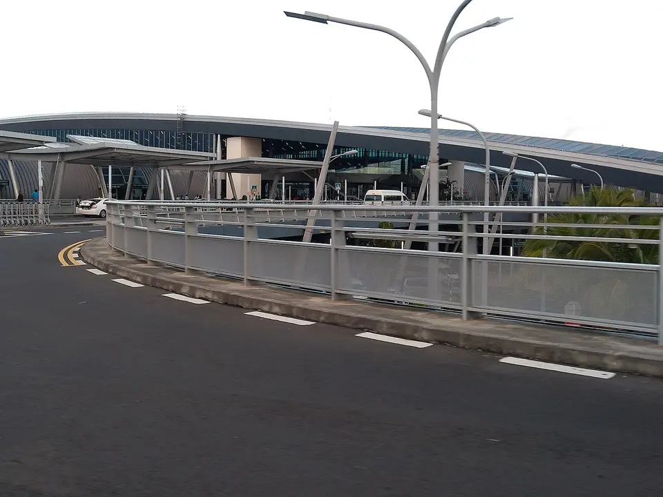
Photo: “Sir Seewoosagur Ramgoolam International Airport”, आशीष भटनागर / Wikimedia Commons, CC BY-SA 3.0, cropped ( source) -
Pamplemousses Botanical Garden
59 km from the startDay 1: an optional stop on the way north, 15 km before Grand Baie.
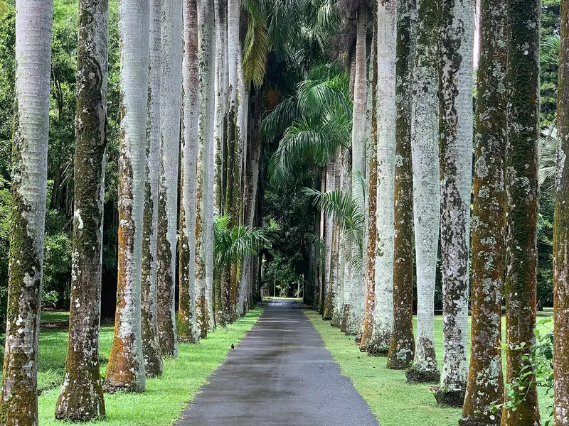
Photo: “Avenue Charles Darwin (Sir Seewoosagur Ramgoolam Botanical Garden), March 2020”, Benoît Prieur / Wikimedia Commons, CC0, cropped ( source) -
Grand Baie
73.8 km from the startNights 1 and 2: the north, boats to the islets on day 2.
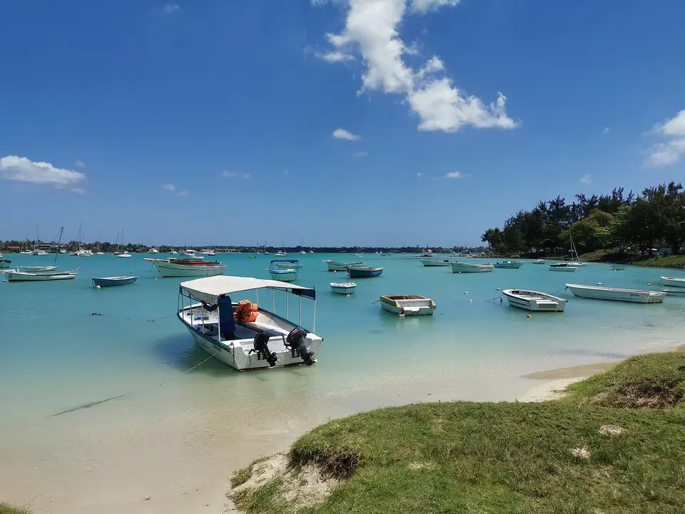
Photo: “Strand grand-Baie 2019-09-27 2”, Z thomas / Wikimedia Commons, CC BY-SA 4.0, cropped ( source) -
Port Louis
101.9 km from the startDay 3: a morning in the capital on the way west.
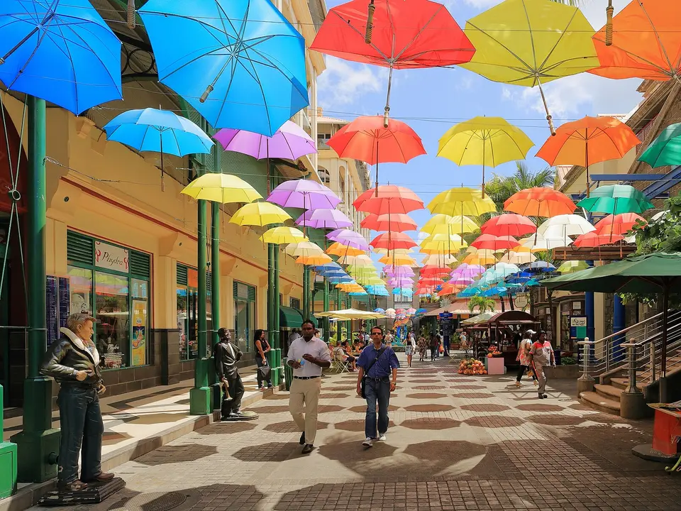
Photo: “Umbrellas at Caudan Waterfront Mall”, Martin Falbisoner / Wikimedia Commons, CC BY-SA 4.0, cropped ( source) -
Flic en Flac
125.4 km from the startNights 3 to 6: the west coast base.
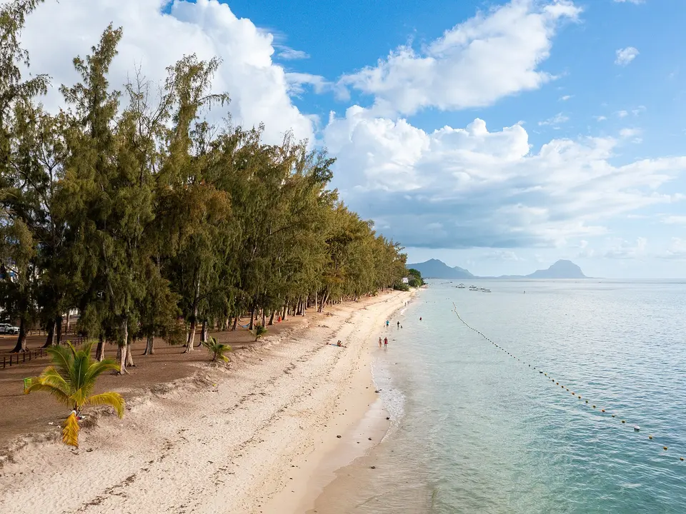
Photo: “Flic en Flac Beach in Mauiritius”, "dronepicr" / Wikimedia Commons, CC BY 2.0, cropped ( source) -
Chamarel
156.9 km from the startDay 4: Seven Coloured Earth and the waterfall.
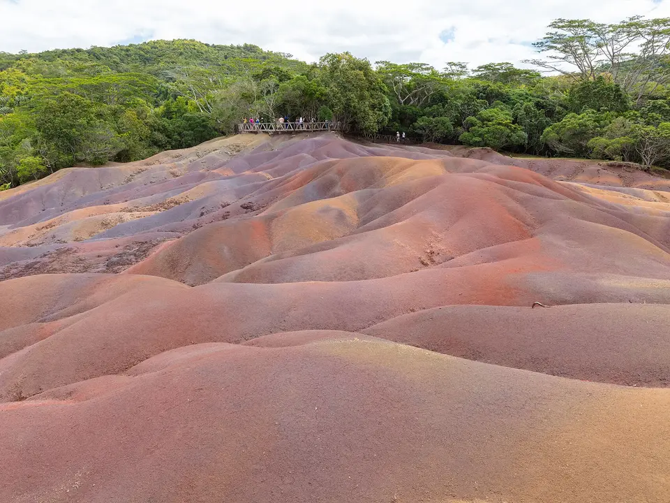
Photo: “Tierra de los Siete Colores, Chamarel, Mauricio, 2025-09-25, DD 31”, Diego Delso / Wikimedia Commons, CC BY-SA 4.0, cropped ( source) -
Le Morne
175.1 km from the startDay 4: the foot of Le Morne Brabant.
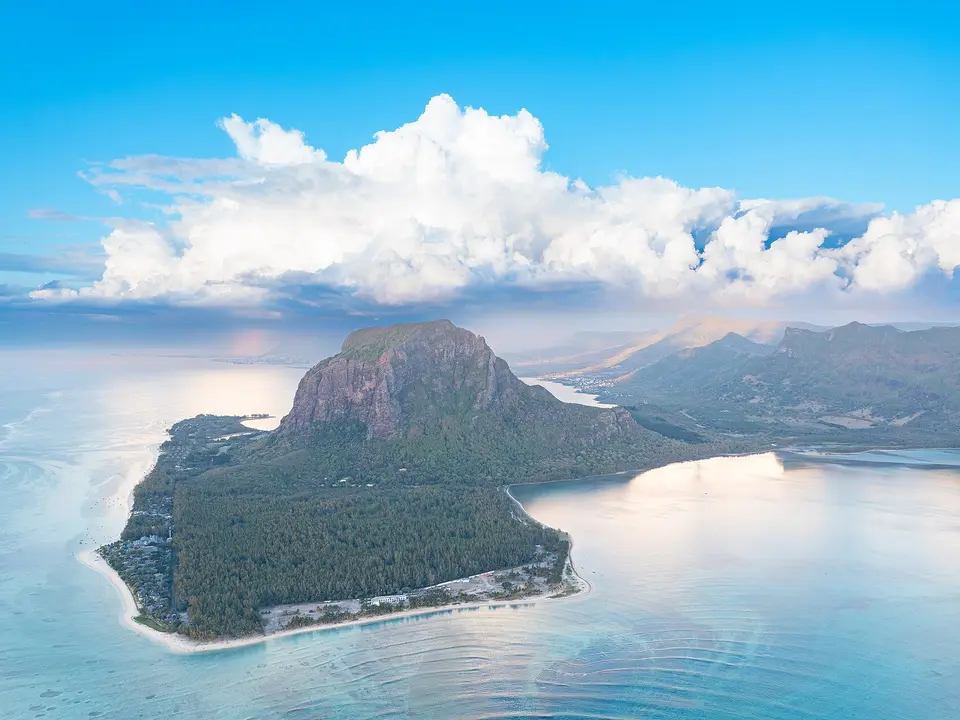
Photo: “Le Morne Peninsula in Mauritius”, "dronepicr" / Wikimedia Commons, CC BY 2.0, cropped ( source) -
Tamarin
195.9 km from the startDay 4: the bay at the end of the afternoon.
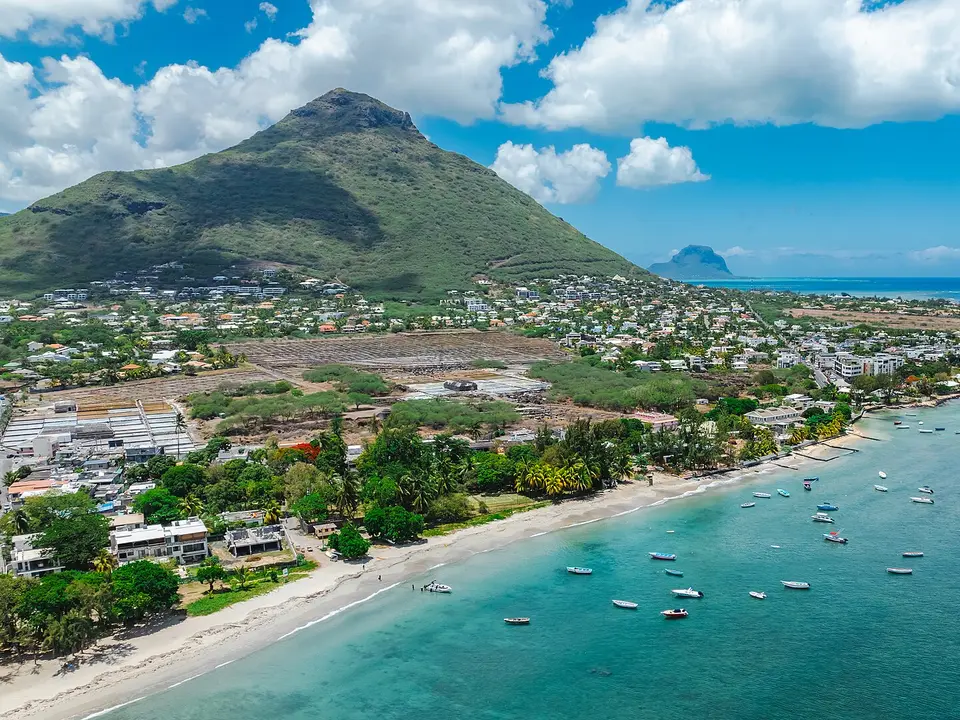
Photo: “Mauritius tamarin beach”, Arne Müseler / Wikimedia Commons, CC BY-SA 3.0 de, cropped ( source) -
Back to Flic en Flac
207.7 km from the startDay 4 ends where it started.
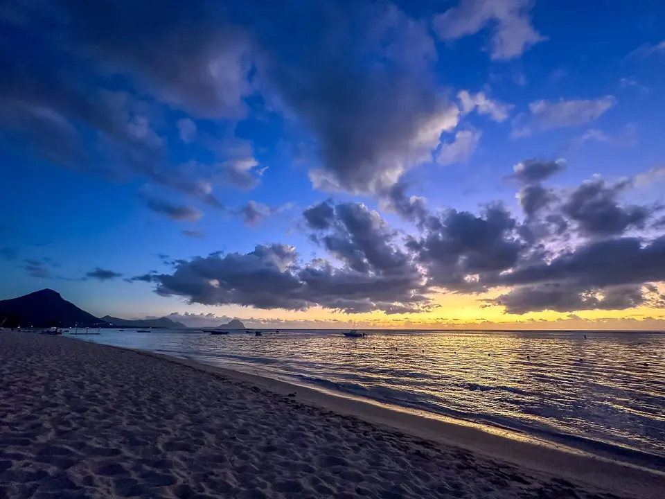
Photo: “Flic en Flac Beach in Mauritius at sunset”, "dronepicr" / Wikimedia Commons, CC BY 2.0, cropped ( source) -
SSR airport, departure
254.7 km from the startDay 7: the run back, 47 km.
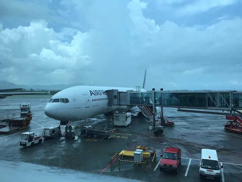
Photo: “Avion à l'aéroport international Sir-Seewoosagur-Ramgoolam (2018)”, Benoît Prieur / Wikimedia Commons, CC0, cropped ( source)
Route map
The map with the stops loads on click, to keep the page light.
The map didn’t load. Check your connection and refresh the page.